We all sleep in, and we really don’t get out of bed till 8. You can just hear the faint noise of the trucks as they pass. Can’t say I heard anything overnight. It’s been so quiet here.
A long day ahead of us. We’re about 300km into the 1200km of the Nullarbor that ends in Ceduna. I really want to camp on the Great Australian Bight, but for that we really need to be on the SA side of the border, about 450km away.
We’re off by about 9:30am (W.A. Time). Again it’s a great day, sunny, but not too hot, about 24° as we leave.
Another 70 odd kms to complete on the 90 mile straight. Oddly enough it’s not boring or any more tiring than any other section of long highway, I was probably more bored on the Hume.
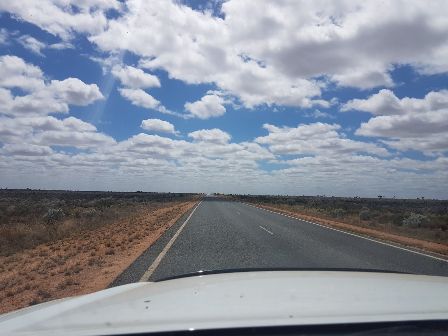
90 Mile Straight
There is not a lot out here. Again only roadhouses. Speaking of which, we stop at Caiguna Roadhouse, which is right at the end of 90 mile straight.
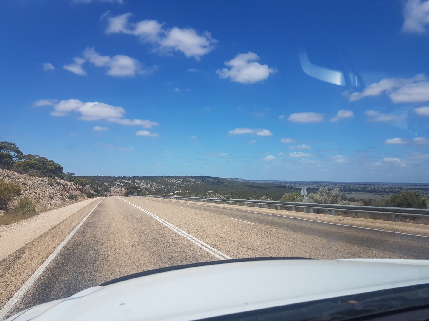
We drive and again the landscape changes more regularly than you would expect. After (only) a couple of hundred kms we drive through Madura. I can see from wikicamps there is meant to be a look out. Of what? I think, the lookout must be 2mtr off the ground. We then turn this bend and all of a sudden the road drops down a hill, maybe 60-80mtrs down, doesn’t sound like a lot, but it may as well be Everest out here. While not as large, it feels similar to when you come off the Blue Mountains into Penrith. We drive beside this ridge on our left, for what ends up being over a 100km. Every time we think we are going to come to the end, another section starts. Absolutely amazing.
Drop down at Madura 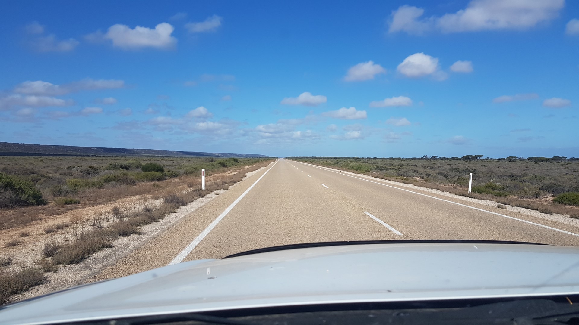
Ridge off to the left 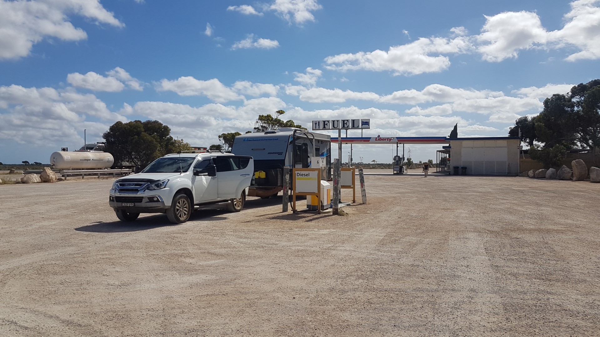
Mundrabilla Roadhouse
Into Eucla, where we climb back up the 60-80 mtrs we descended back in Madura. After another 10 km and are at the border.
There is a WA quarantine station going west, the SA one is not until Ceduna, so we can drive right through here.
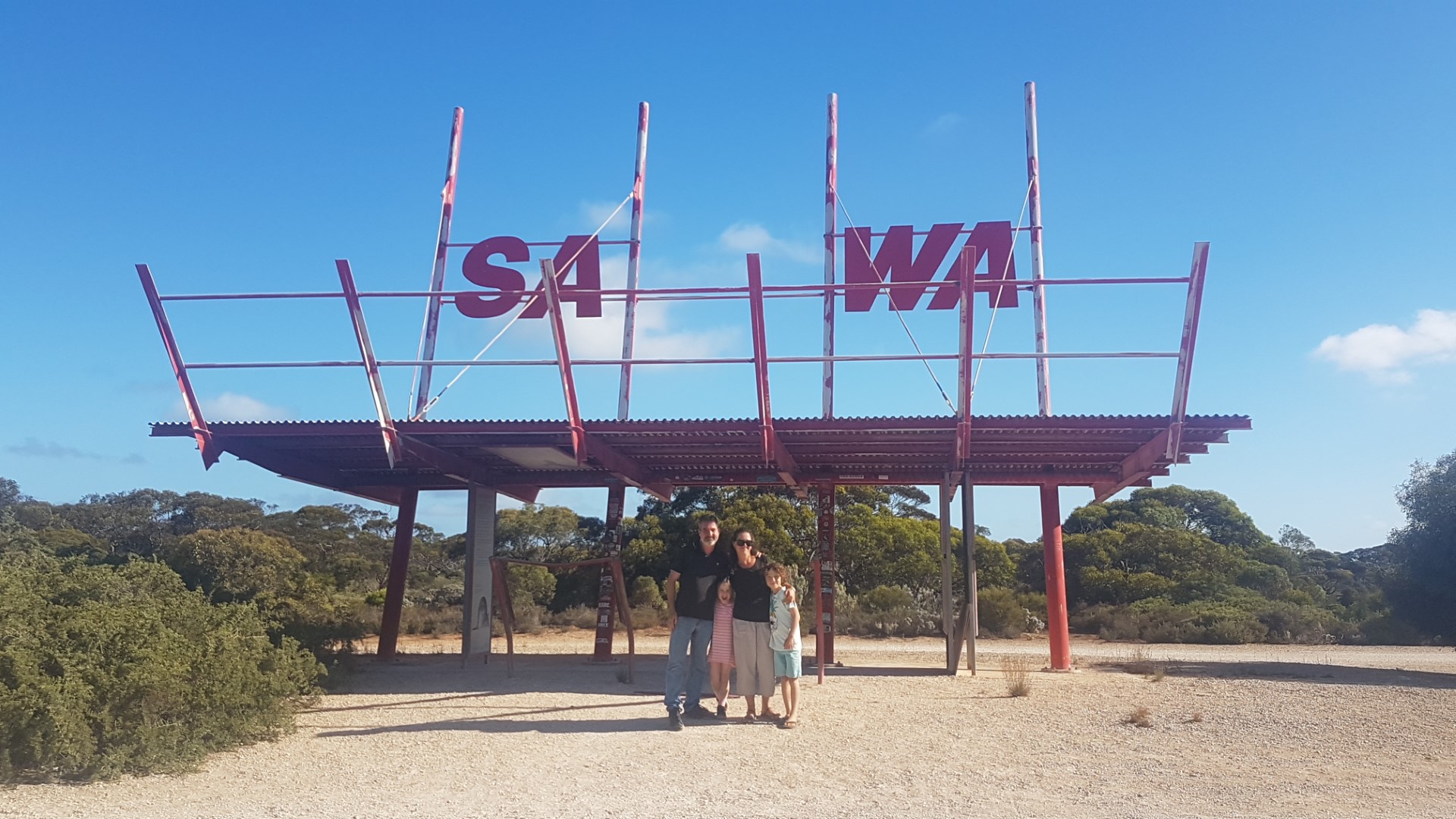
They don’t have parking near the border sign here to take a photo so we have to drive another 100mtr up the road to park and walk back. Photos taken, then we see a cool WA/SA sign, but it is on the other side of the road, in what technically looks like WA. We walk across, it’s not really Pitt St (Bourke, Queen, Hay) but we cross to take a photo. At this point I see a WA cop car kinda stalking us. Surely they not going to have a go because we walked back into WA, or Jay walked. Nope the nice constables, just want to know if they’d like us to take a family shot (they must be bored!).
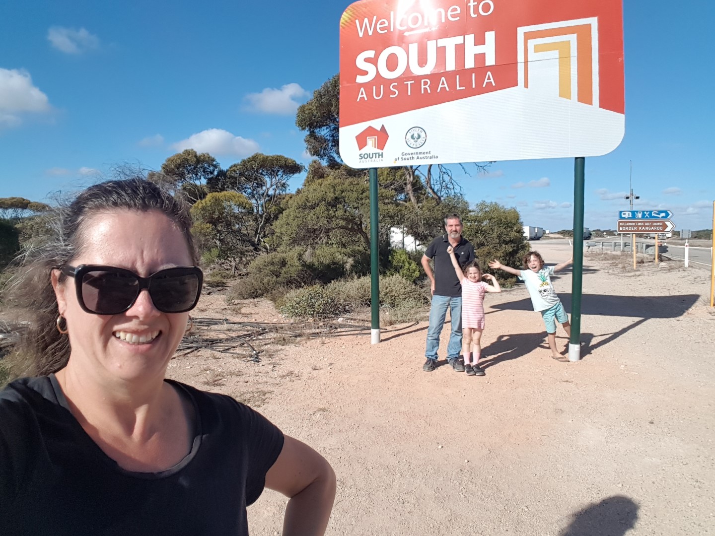
At this point we’ve just lost 2.5 hours. The regular 1.5 between SA and WA and the extra 1hr due to daylight savings. There was this odd 45 min timezone we passed through, but the less said about that the better.
Another 30 km up the road to what I hope will be our camping site. We’ve passed a couple of sites, but they all have vans in them, I guess to be expected in this part of the bight. We pull in and there must be 6 groups, all spread out, over hundreds of metres, but the way the track is, it doesn’t leave heaps of space. I think we’ll move on. Two more spots up the road, one in 20kms or the other in 50 kms. The sun is starting to get low, I’d like to be parked up with dinner going before dark.
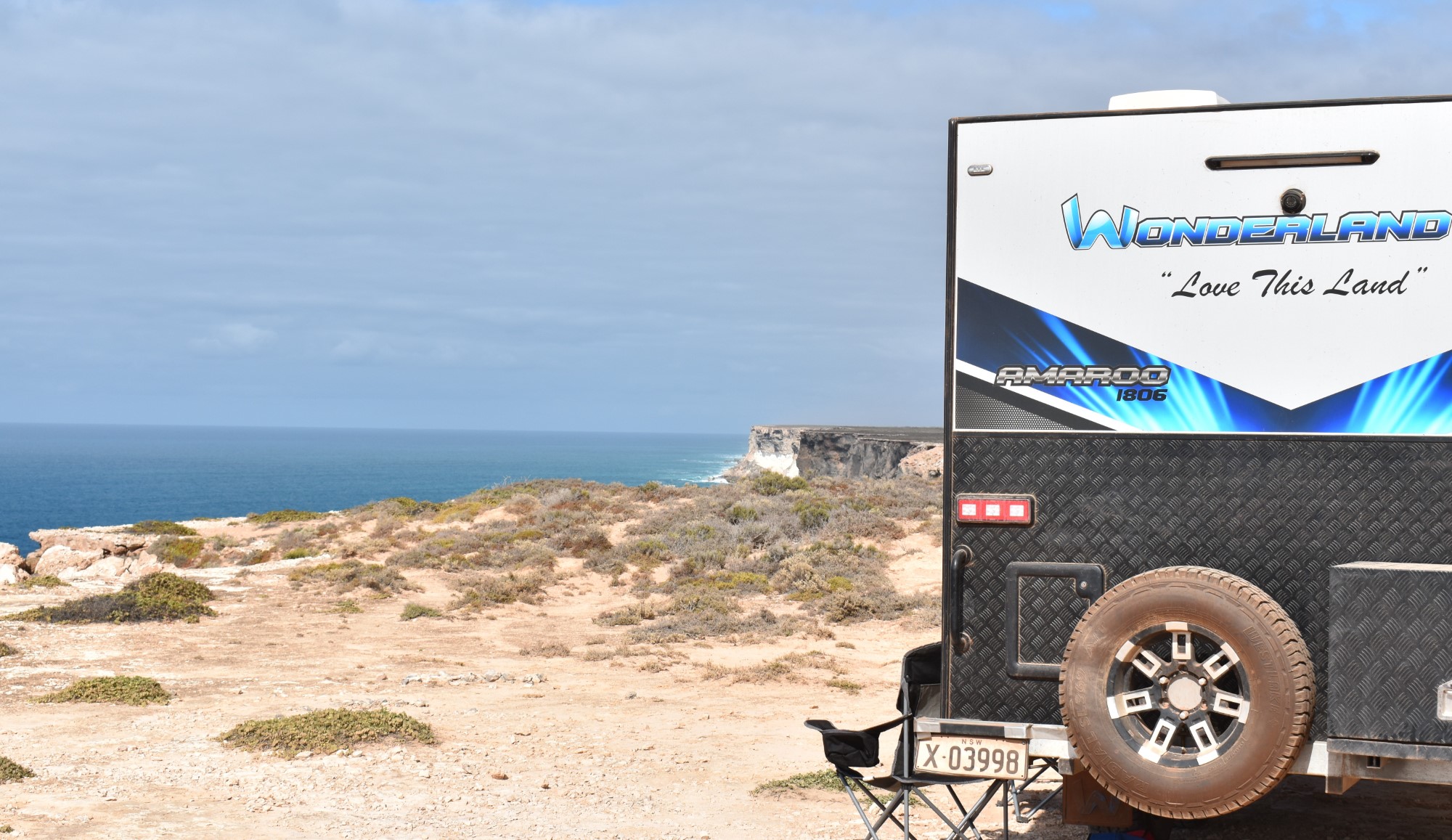
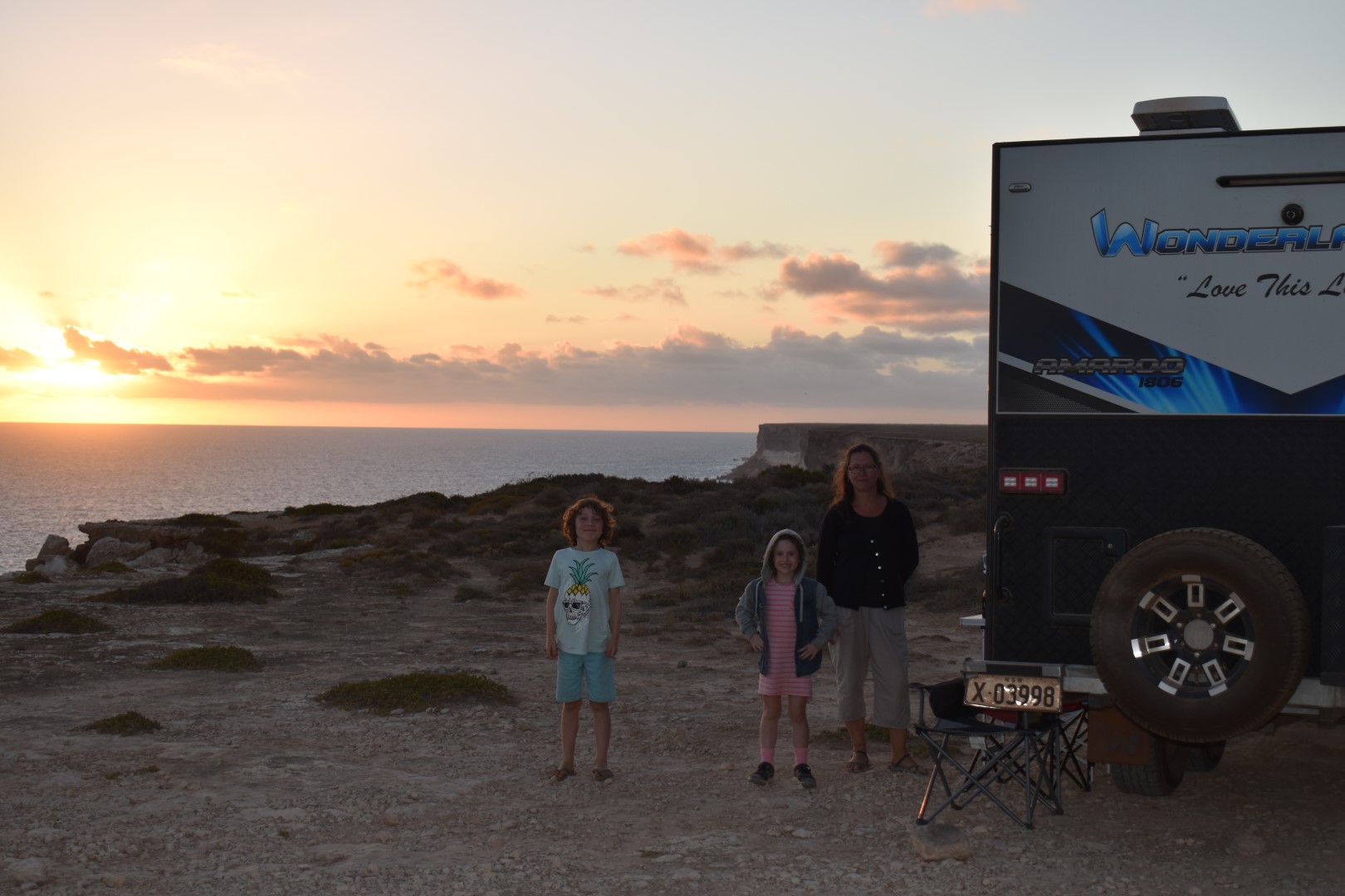
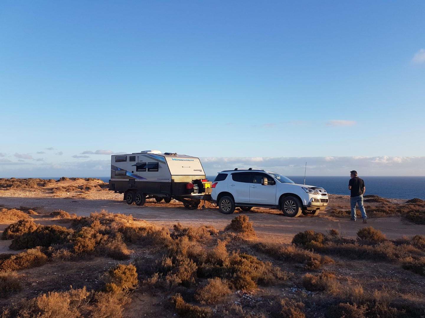
Another 20km up the road, we pull in, and there’s nobody here. We find a spot right next to (Justine might suggest “too close to”) the cliff on the bight. I’m having trouble finding the right words to describe it, to be here overlooking this spot is Awe inspiring. I’ve always thought this part of the world would be sensational, but I can tell you it’s better.
After 6 weeks in Windy Always (W.A) it’s surprising but it’s reasonably calm.
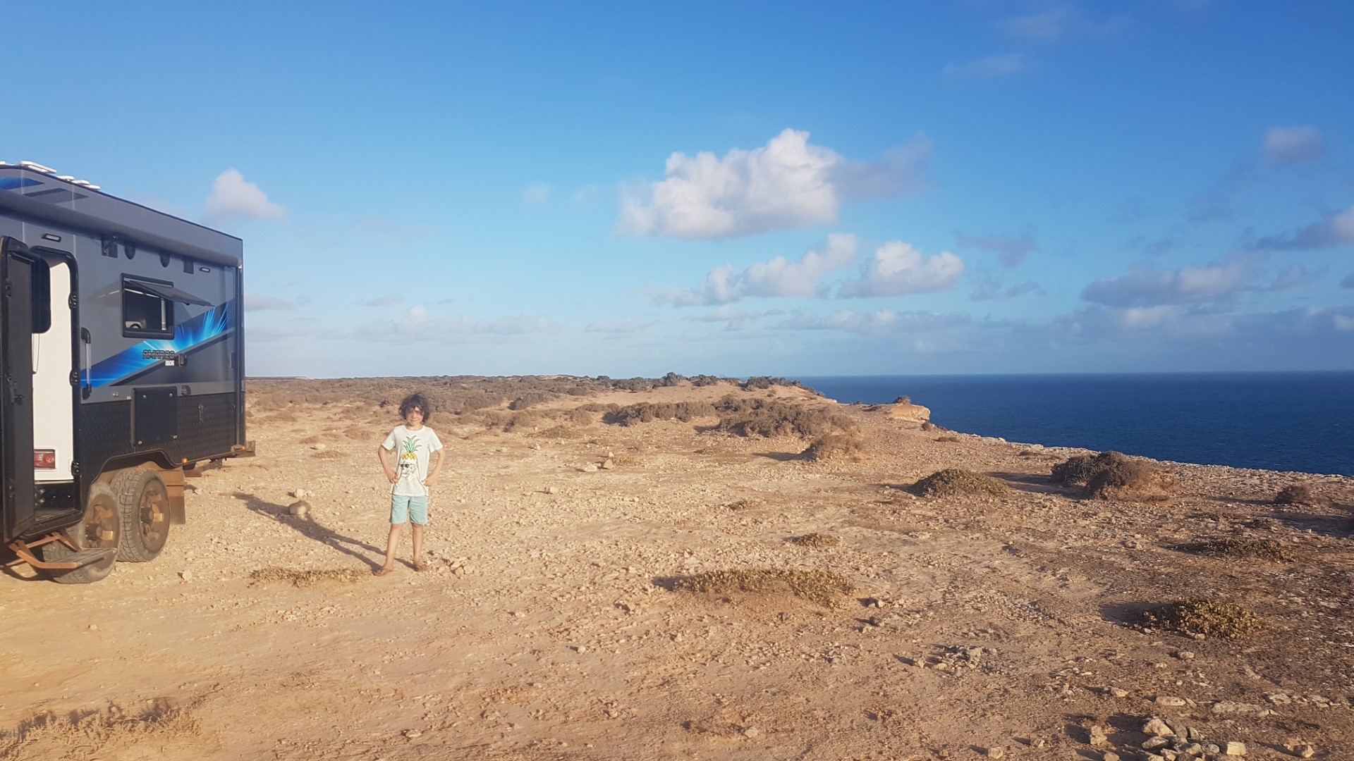
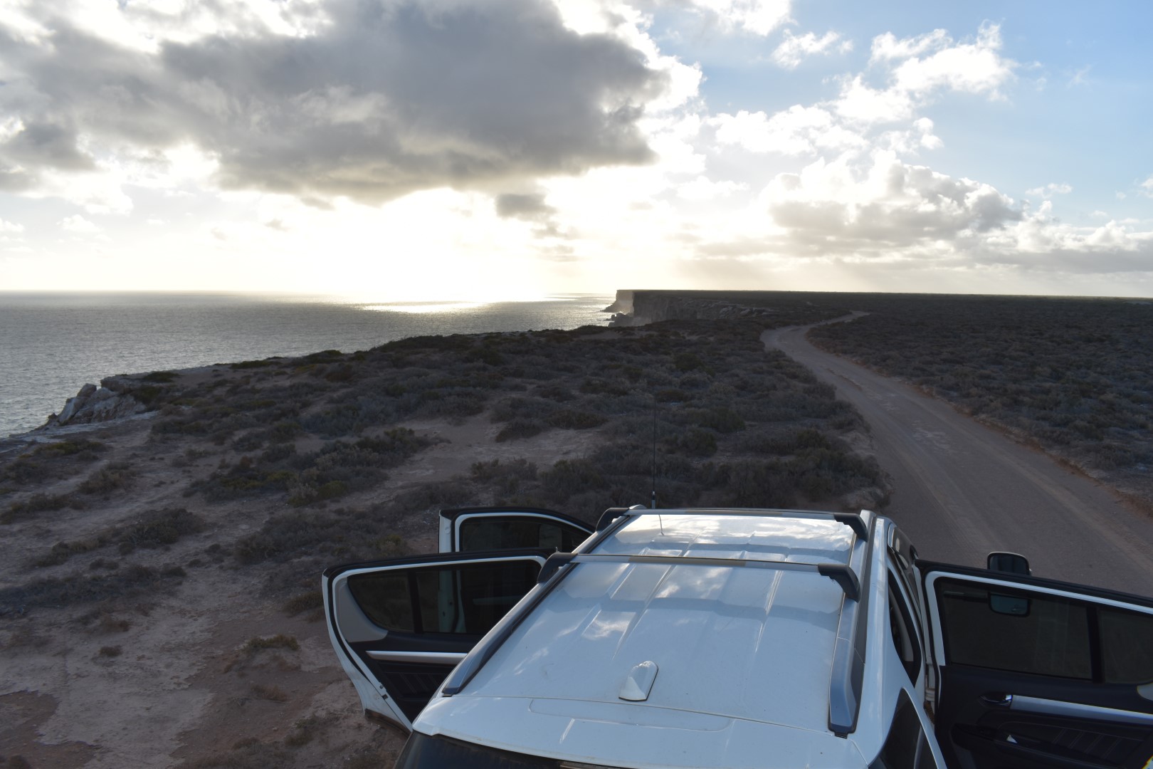

What a spot
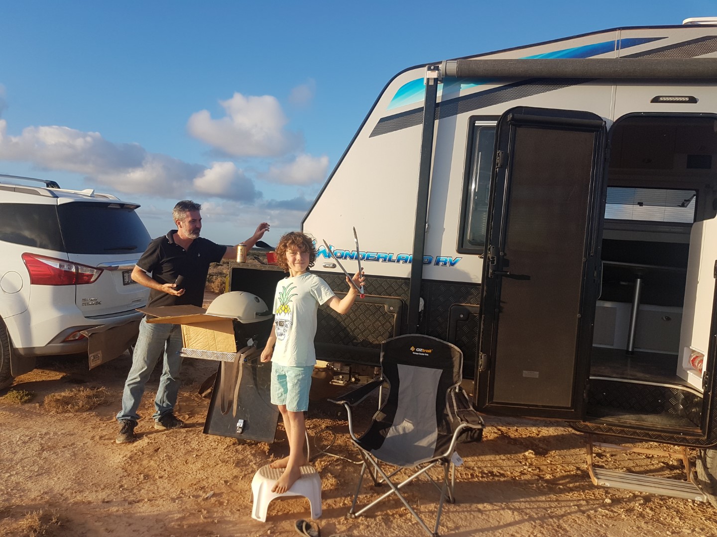
Dinner and then we give the kids some New Year’s Eve sparklers and glow sticks – for us, it’s to mark the occasion of finally being on the Bight, but also to help them burn off some energy. They may have more trouble adjusting to the time zones than we will. Our 7.30pm suddenly became 10pm in the blink of an eye, and no-one was tired.